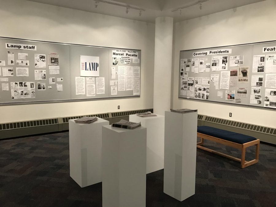
Isaac Warren
Print Editor
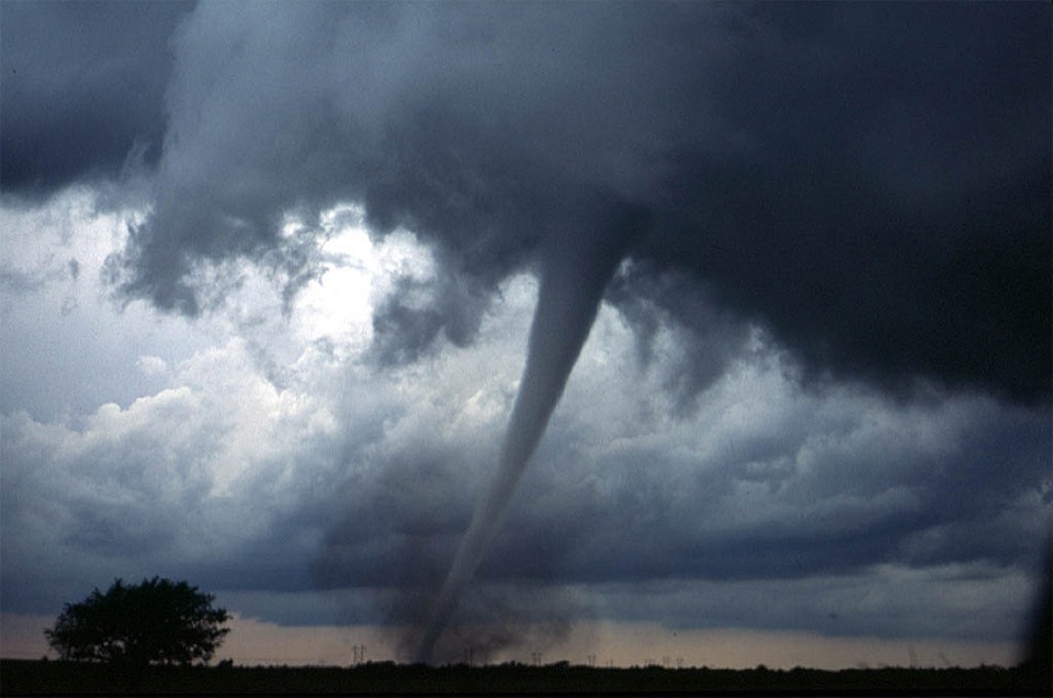
SPRINGFIELD – Illinois sees the extremes of weather on an annual basis. From hot summers, to frigid winters, residents of Illinois know a thing or two about how the weather works. However, severe weather threatens lives everyday. Tornadoes, lightning, severe thunderstorms, flash floods, and even a fire can cause massive damage and can wreak havoc when they strike.
Dean Butzow, who teaches an intro to weather class at Lincoln Land Community College, gave some helpful tips when it comes to preparing for severe weather.
Having a weather radio, he said, is very important, because they are louder than the alerts on a phone. Radios do not drain a phone’s battery and can even be used to charge them. A weather radio can be bought at virtually any store that sells electronics. For the Springfield area, radio station WUIS provides weather updates and forecasts all day and night.
Having a plan of action in case severe weather strikes is also very important, says Butzow. In Illinois, the weather can change dramatically by the hour, which is why it is important to have a plan. Illinois has a very high count for tornadoes, especially in Sangamon county, which has the second highest tornado average in central Illinois, according to the National Weather Service. Because of this, a plan must include where to go if a tornado were to touch down. The best place to be during a tornado is the lowest part of a building that has no windows, such as a bathroom. Pillows, helmets, even a mattress should be brought along as a shield from debris, should a tornado strike the building. Debris from a tornado is usually what kills people. Tornadoes have been known to drive grass and straw through trees, as well as lift an entire house off its foundation.
Butzow noted that LLCC is one of the few areas in Springfield to be certified by the National Weather Service as a storm ready facility. This means that the LLCC campus is a safe place to be if a tornado warning was issued.
It is crucial to know what the difference is between a watch and a warning. When the NWS issues a severe thunderstorm watch, or a tornado watch, this means that the current weather conditions are favorable for the development of severe weather. This does not mean that a severe thunderstorm or a tornado is happening. It just means that it may happen soon. If a watch is issued, prepare a weather emergency kit with flashlights, candles, shoes, first-aid, and water. In the event of a severe thunderstorm warning or a tornado warning, you must take cover immediately. A warning means that a severe thunderstorm or a tornado is in progress and will affect you shortly. A warning is not an open invitation to stand on the porch and watch the storm, especially during a tornado. If you want to see a tornado, I suggest you watch some YouTube videos instead of risking your life.
In rare cases, the NWS may issue a PDS, which stands for Particularly Dangerous Situation. This kind of warning should not be taken lightly, and indicates that a storm that is life-threatening. Usually, if a PDS is issued with a tornado warning, this means that the tornado is strong and will last a long time. It could also mean that there will be multiple tornadoes. If a PDS is issued with a severe thunderstorm warning, this means that winds could reach and even exceed 90 miles per hour, and cause extreme damage to life and property.
So, this spring, consider making a weather emergency kit, and having a plan of action for when severe weather occurs. More information can be found at the National Oceanic and Atmospheric Administration webpage at www.noaa.gov.
Isaac Warren can be reached at [email protected]